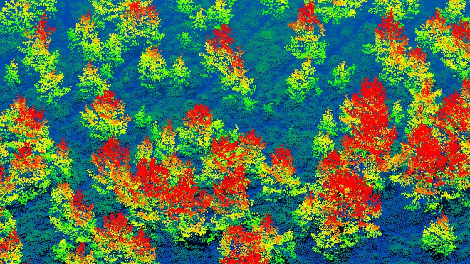
Aerial laser maps show millions of young trees returning to the Cairngorms
A Cambridge-led team used airborne LiDAR to count more than six million trees across 569 square kilometres of the Scottish Highlands, revealing native woodland spreading naturally.
Native woodland is spreading naturally across a large part of Scotland's Cairngorms National Park, according to detailed 3D maps produced by a University of Cambridge-led team. The surveys identified more than six million individual trees across 569 square kilometres, and found that 2.65 million of them, just over 40 per cent, were under five metres tall. Young woodland now covers more than 5,235 hectares of previously open land.
The data came from LiDAR, a laser scanning technology flown from a light aircraft 600 metres above the ground. The team developed an AI-supported method to analyse the scans and record the exact height of every tree. Ground measurements and field surveys by Cairngorms Connect and RSPB Scotland confirmed the accuracy of the results. Most new trees grew near existing forest edges, and fewer established in boggy areas than in dry heathland.
The work was co-led by Dr Aland Chan of Cambridge's Centre for Landscape Regeneration, with Dr Pip Gullett of the Cairngorms Connect partnership as a co-author, and is published in the Journal of Applied Ecology. The recovery follows a landscape-scale approach to deer management across the partnership's 60,000 hectares. "This is going to be a great way to monitor large-scale woodland expansion going forward," said Dr Gullett.
Only 4 per cent of Scotland's original native forests remain, and the team says its approach could complement, or partly replace, hundreds of hours of ground surveys by staff and volunteers. It could be used around the world to monitor forest management and restoration. More forest also helps remove carbon dioxide from the atmosphere and supports threatened species such as capercaillie and red squirrels.
Source: the original release from University of Cambridge, reporting research published in Journal of Applied Ecology. Summarised by GRP Research News.
For universities
The Collaboration and Funding Blueprint
Your institution's collaboration network, funding evidence and partner opportunities, mapped in one document. Three options, one document, from the team behind the index. Sample Blueprints are open to read.